Kinangop: one name, three places
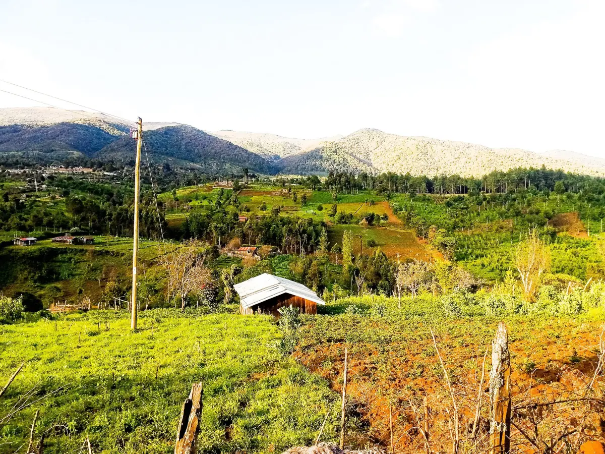
Kinangop appears on maps in three ways. The Kinangop peak is a summit in the southern part of the Aberdare range and stands at 3,906 m. The Kinangop plateau lies to the west of the range and is not a mountain of the same height. Kinangop Sub-county is the administrative area around the towns of Engineer and Njabini.
If you came for the mountain, your plan is a hike with Kenya Wildlife Service (KWS) rangers, described on the Aberdare hiking page. If you came for the plateau, you are looking at the western approach to the park, with small towns on the way. For a guided day in the park itself, see Aberdare safari tours.
Aberdare tours and day trips
Guided days in the Aberdares and the Nyeri area, with live prices and availability.
Kinangop plateau and the western side
Farms, small towns and the road links of the west.
The Kinangop plateau lies west of the Aberdares, and the range rises to the east of it. Engineer is the best-known town: it sits in Kinangop Sub-county on the road between Ol Kalou and Njabini and is a centre for horticulture and dairy farming. Roads connect it with Naivasha through Kirima and with Njabini and Nyahururu. Engineer and Njabini are both wards of Kinangop. Do not confuse them with Ol Kalou, which is the county headquarters.
For travellers this is mainly the way in from the Rift Valley side. If you are coming from the lake, the neighbouring guide to Naivasha town covers that end of the route.
| Meaning of Kinangop | What it is | Use it for |
|---|---|---|
| Kinangop peak | Summit of 3,906 m in the southern range | Ranger-led hiking |
| Kinangop plateau | Plateau west of the range | Orientation on the road |
| Kinangop Sub-county | Administrative area with Engineer and Njabini | Towns on the western approach |
For most visitors, the practical meaning is the peak and the park gates. Treat the plateau and the sub-county as places you pass on the way in.
Kinangop peak and the high moorland
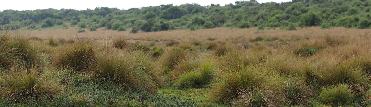
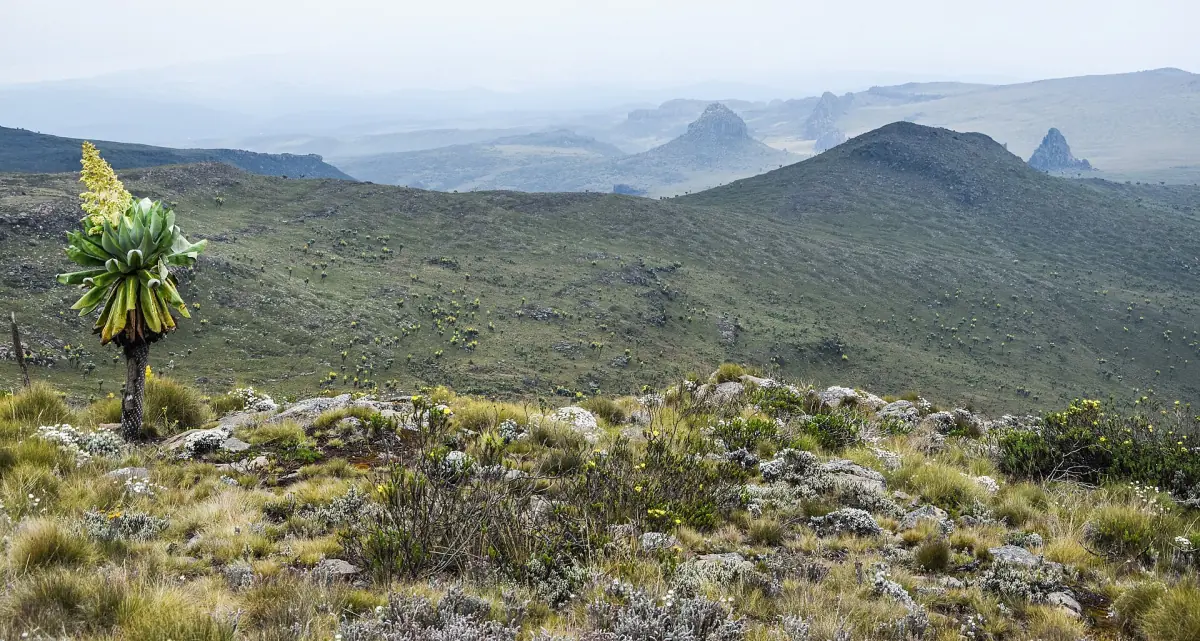
The Kinangop peak is one of the high points of the range, 93 m lower than Ol Donyo Lesatima, which stands at 3,999 m. The ground between the two is above 3,000 m. This is cold, exposed country where mist and rain are common. KWS advises warm clothing, hiking boots and a way to navigate.
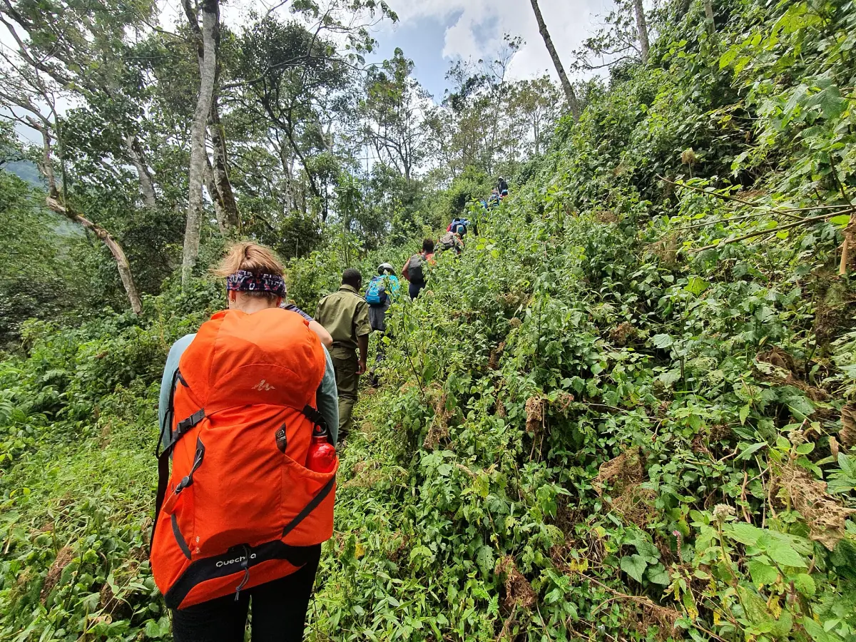
Hikers are expected to arrange a ranger escort in advance. The ranger tariff is KES 2,000 for up to 4 hours and KES 4,000 for longer, with a minimum of 2 rangers. Ask KWS whether the group or each ranger is charged. Ask also which approach is currently used for the Kinangop peak, as the Satima trails start from Shamata Gate.
Because the peak shares its name with a plateau and a sub-county, check which of the three a map, a lift or a booking refers to.
Entering the park from the west
The Naivasha side is one approach among several.
Named gates
The park has eight gates: Ark, Treetops, Kiandongoro, Mutubio, Rhino, Ruhuruini, Shamata and Wandare. Which of them is staffed and open for your visit needs to be checked with KWS before you set out.
Link from Naivasha
A connection leads into the park from the Naivasha side. Do not assume it forms a through route to the east of the park, and plan your return by the same side or check the current position.
Hours and fees
Gates are open from 06:00 to 18:00 and daily access lasts up to 24 hours. A non-resident adult pays $70, a child $40. Kenya residents pay KES 1,100 and KES 675, and East African citizens KES 800 and KES 500. A vehicle with fewer than 6 seats costs KES 600 per day.
Park fees guide →Roads
The road between Dundori, Ol Kalou and Njabini carries the label B20. Rain can change how passable park roads are, so ask about conditions on the day.
Getting there →Kinangop is easiest to plan when you decide first what you want from it. For the peak, book the ranger escort and keep a day free for weather. For the western approach, check which gate you will use and whether it is staffed. Whatever your plan, remember that the park rules apply from the moment you enter: stay on the roads, keep 20 m from wildlife, do not feed animals and leave single-use plastic behind.
Plan the rest of your visit
What else to combine with Kinangop.
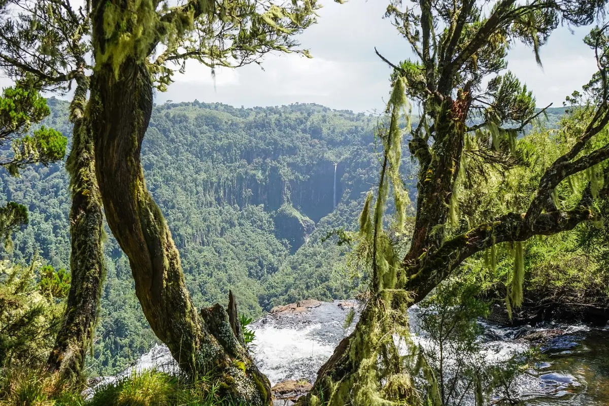
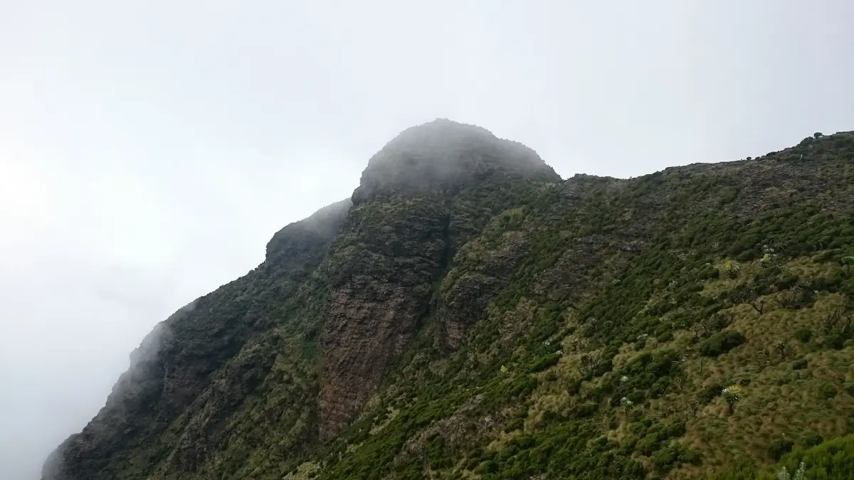
Kinangop: frequently asked questions
How high is Kinangop?
The Kinangop peak is 3,906 m. The plateau to the west is not a summit of the same height.
Is Kinangop the highest peak in the Aberdares?
No. Ol Donyo Lesatima is higher, at about 4,000 m (3,999 m or 4,001 m).
Is there a marked trail to the Kinangop peak?
Ask KWS about the current route and a ranger escort before you plan the hike. Do not set out on your own.
Where are Engineer and Njabini?
Both are in Kinangop Sub-county, on the western side of the range. Engineer lies on the road between Ol Kalou and Njabini and is known for horticulture and dairy farming.
How much does a ranger escort for the Kinangop peak cost?
The ranger tariff is KES 2,000 for up to 4 hours and KES 4,000 for longer, with a minimum of 2 rangers, plus park entry. Ask KWS whether the group or each ranger is charged.